

KC Maps
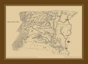
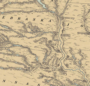
Missouri River Valley Antique Map Circa 1940
$45.00 USD
This image is made from a scan of an original pen and ink hand drawn map. The map was made by the Gallup Map Company circa 1920. This style of map is called an Oblique as it appears to be from the air and shows the curvature of the earth. The river detail is fantastic and the towns are marked with billboard signs.