Save 15% at checkout, use code 2026".
Menu
0
Lake Maps
Lake of the Ozarks
Lake Lotawana
All Lake Maps
KC Maps
All Maps
Business Maps
Wall Maps
MLS/KCPS
Campus Maps
Honeymoon Maps
Custom Order
KC Shirts
About Us
Our Shop
Our Maps
Custom Services
FAQ
Contact Us
Log in
Continue Shopping
Your Cart is Empty
Save 15% at checkout, use code 2026".
Lake Maps
▾
Lake of the Ozarks
Lake Lotawana
All Lake Maps
KC Maps
All Maps
▾
Business Maps
Wall Maps
MLS/KCPS
Campus Maps
Honeymoon Maps
Custom Order
KC Shirts
About Us
▾
Our Shop
Our Maps
Custom Services
FAQ
Contact Us
Cart
Cart
Home
/
Vintage, Antique, and Historic Maps
/ Page 4 of 6
Vintage, Antique, and Historic Maps
Yellow Stone National Park
from
$205.00 USD
Mount Rainier National Park
from
$205.00 USD
Platte County 1905 Ownership Map
from
$90.00 USD
Zion National Park Map
from
$75.00 USD
YOSEMITE NATIONAL PARK MAP
from
$75.00 USD
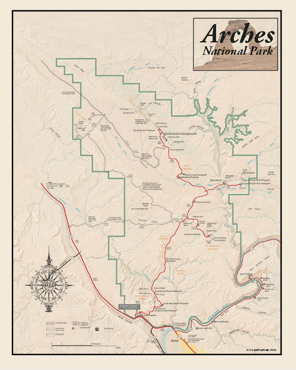
Arches National Park Map
from
$75.00 USD
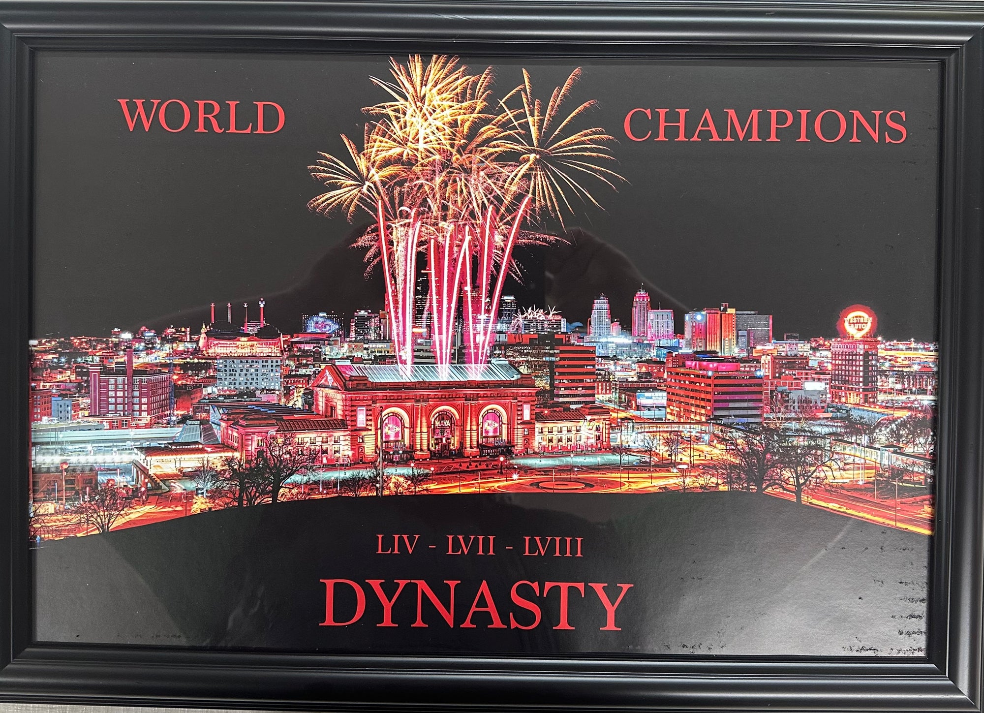
2023 World Champions (fixed size)
from
$20.00 USD
Union Station Celebrates a Chiefs Victory
from
$45.00 USD
Union Station Celebrates a Chiefs Victory (fixed size)
from
$25.00 USD
Decorative Vinatge Classic Gray Style Center Hill Lake TN
from
$90.00 USD
Lakewood Missouri Classic Gray Vintage Style Canvas Map
from
$90.00 USD
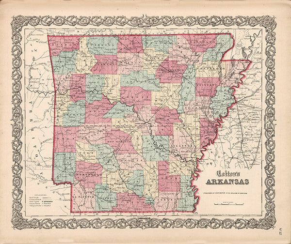
Arkansas 1855 Vintage Antique by Coltons
from
$30.00 USD
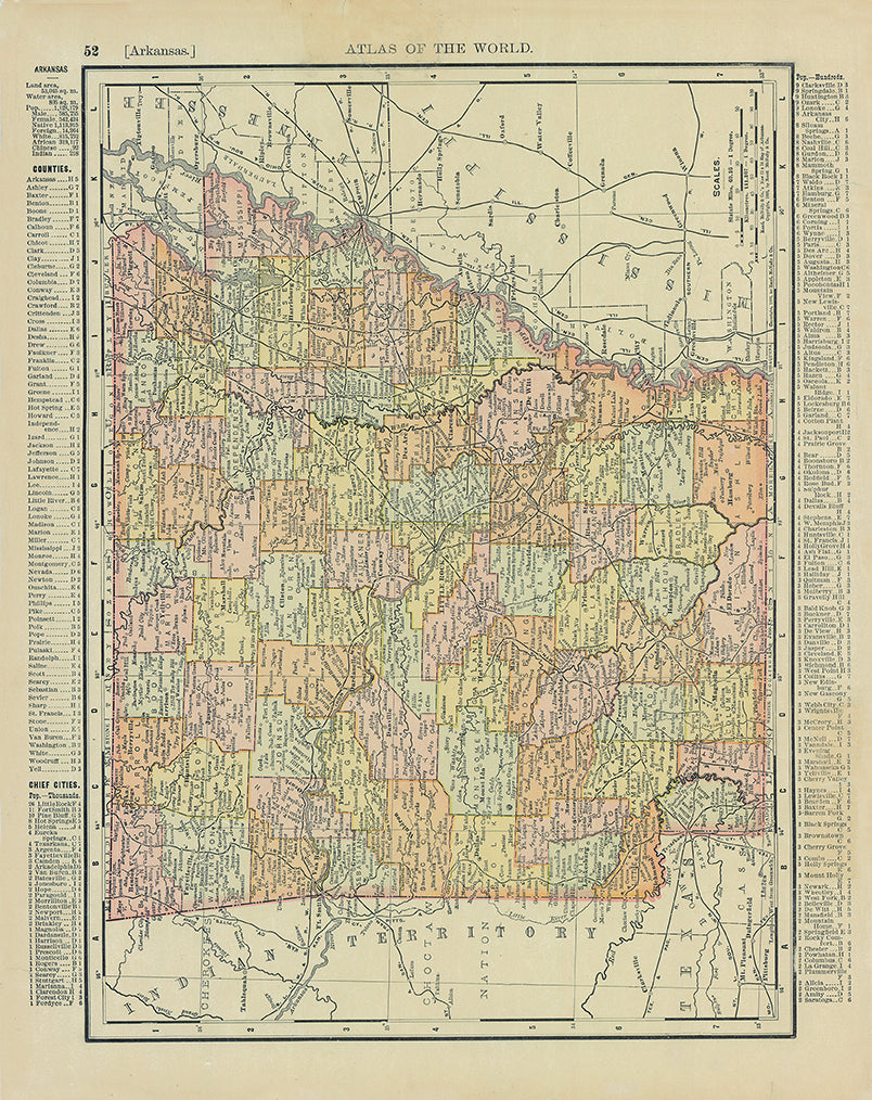
Arkansas 1895 Vinatge Antique Map by Rand McNally
from
$30.00 USD
Lake Quivira Old West Map
from
$90.00 USD
Lake Quivira Classic Gray Map
from
$90.00 USD
Lake Tapawingo Classic Gray
from
$60.00 USD
Kansas City 1925 Neighborhood Map - Plate #219 Southeast WYCO
from
$60.00 USD
Kansas City 1925 Neighborhood Map - Plate #200 Gladstone-St John Brighton-Topping
from
$60.00 USD
Kansas City 1925 Neighborhood Map - Plate #198 Gladstone-St John Indiana-Jackson
from
$60.00 USD
Kansas City 1925 Neighborhood Map - Plate #197 Rochester-St John Prospect-Indiana
from
$60.00 USD
Kansas City 1925 Neighborhood Map - Plate #196 Front-St John Woodland-Garland
from
$60.00 USD
Kansas City 1925 Neighborhood Map - Plate #187 St John-Indep Ave Prospect-Indiana
from
$60.00 USD
Kansas City 1925 Neighborhood Map - Plate #186 St John-Indep Ave Woodland-Wabash
from
$60.00 USD
Kansas City 1925 Neighborhood Map - Plate #185 2nd-Indep Ave Troost-Highland
from
$60.00 USD
Kansas City 1925 Neighborhood Map - Plate #184 Front St-Indep Ave Oak-Troost
from
$60.00 USD
Kansas City 1925 Neighborhood Map - Plate #182 River-6th Santa Fe-Broadway
from
$60.00 USD
Kansas City 1925 Neighborhood Map - Plate #180 75th-87th Hillcrest-Blue Ridge Extn
from
$60.00 USD
Kansas City 1925 Neighborhood Map - Plate #172 79th-83rd Holly-Wornall
from
$60.00 USD
Kansas City 1925 Neighborhood Map - Plate #167 75th-83rd Prospect-Indiana
from
$60.00 USD
Kansas City 1925 Neighborhood Map - Plate #166 75th-79th Paseo-Prospect
from
$60.00 USD
Kansas City 1925 Neighborhood Map - Plate #165 75th-79th Troost-Paseo
from
$60.00 USD
Kansas City 1925 Neighborhood Map - Plate #163 75th-79th Wornall-Oak
from
$60.00 USD
Kansas City 1925 Neighborhood Map - Plate #162 75th-79th Holly-Wornall
from
$60.00 USD
Kansas City 1925 Neighborhood Map - Plate #161 75th-83rd State Line-Holly
from
$60.00 USD
Kansas City 1925 Neighborhood Map - Plate #160 35th-43rd Topping-Parish
from
$60.00 USD
Kansas City 1925 Neighborhood Map - Plate #155 71st-75th Troost-Woodland
from
$60.00 USD
Kansas City 1925 Neighborhood Map - Plate #151 71st-75th Ridgeview-Ward Pkwy
from
$60.00 USD
Kansas City 1925 Neighborhood Map - Plate #150 17th-27th Richmond-Stark
from
$60.00 USD
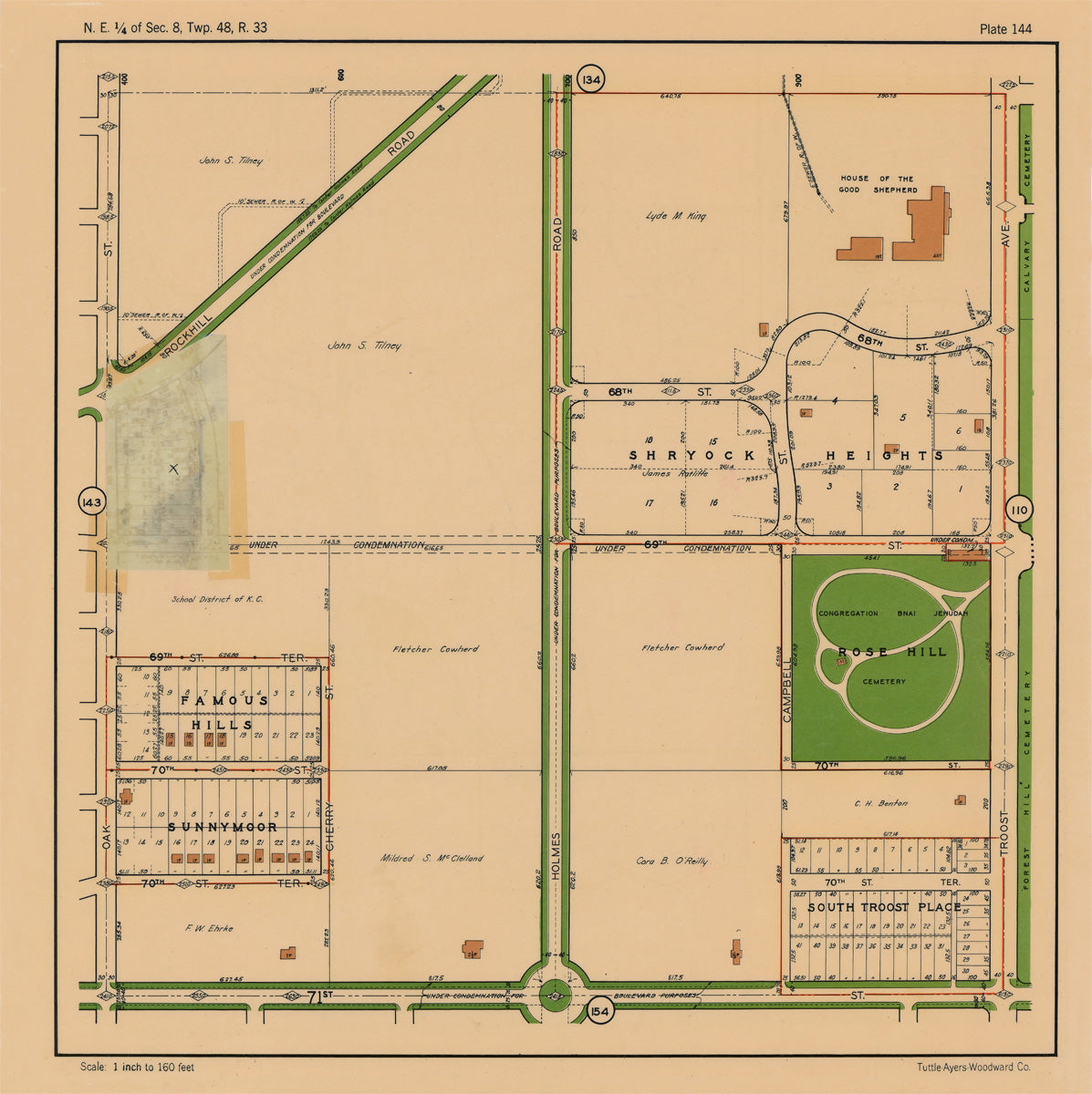
Kansas City 1925 Neighborhood Map - Plate #144 68th-71st Oak-Troost
from
$60.00 USD
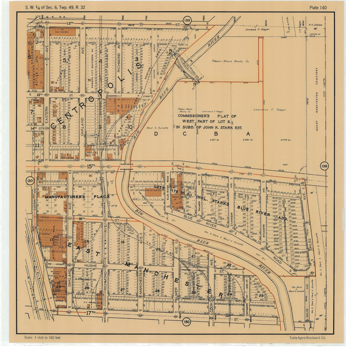
Kansas City 1925 Neighborhood Map - Plate #140 12th-17th Eastern-Skiles
from
$60.00 USD
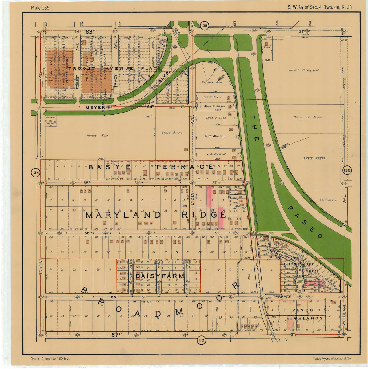
Kansas City 1925 Neighborhood Map - Plate #135 63rd-67th Troost-Woodland
from
$60.00 USD
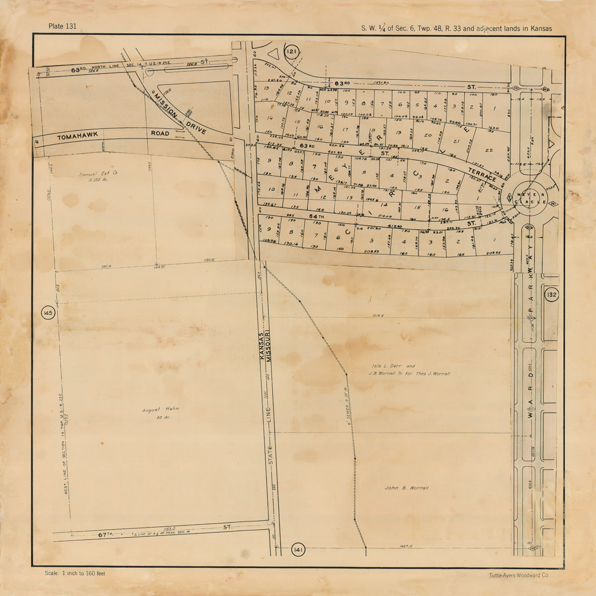
Kansas City 1925 Neighborhood Map - Plate #131 63rd-67th Willow Ln-Ward Pkwy
from
$60.00 USD
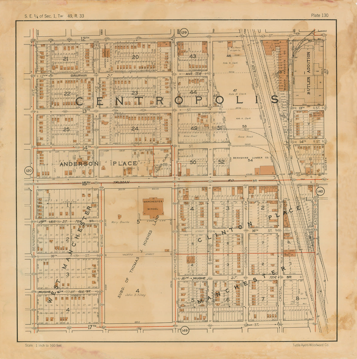
Kansas City 1925 Neighborhood Map - Plate #130 12th-17th Bennington-Crystal
from
$60.00 USD
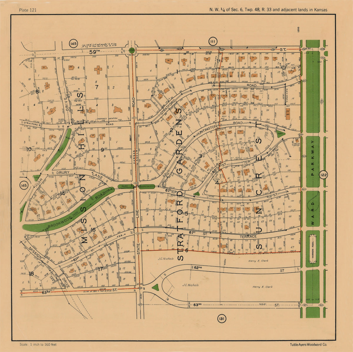
Kansas City 1925 Neighborhood Map - Plate #121 59th-63rd High Dr-Ward Pkwy
from
$60.00 USD
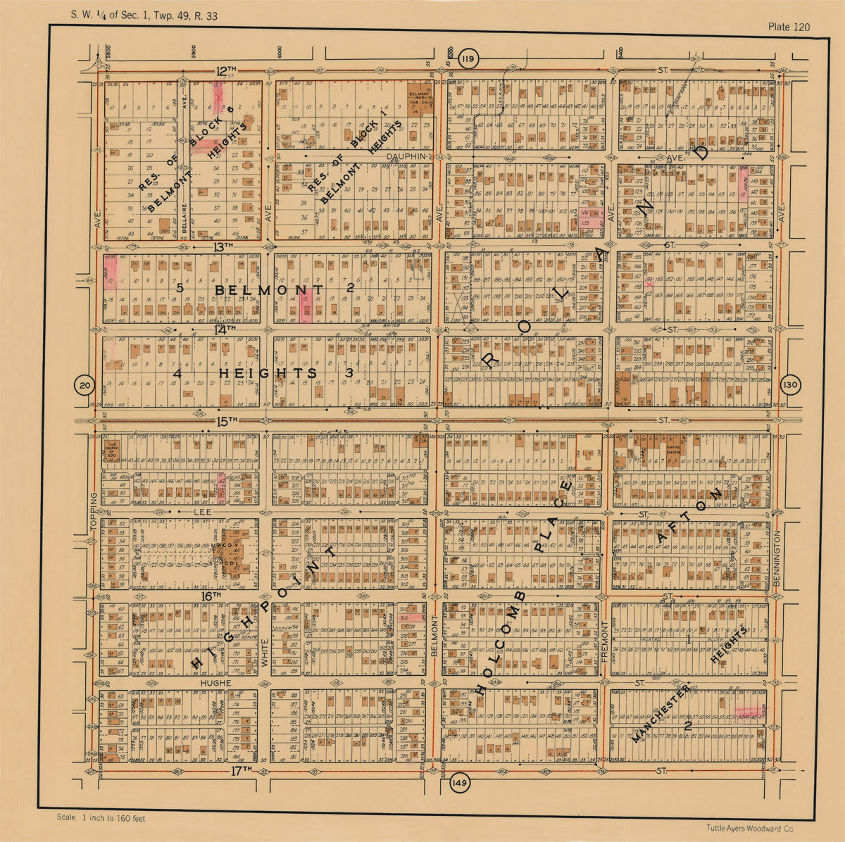
Kansas City 1925 Neighborhood Map - Plate #120 12th-17th Topping-Bennington
from
$60.00 USD
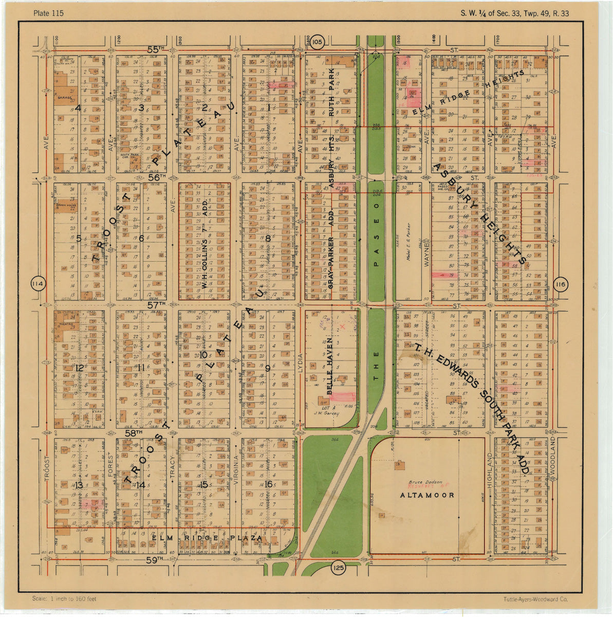
Kansas City 1925 Neighborhood Map - Plate #115 55th-59th Troost-Woodland
from
$60.00 USD
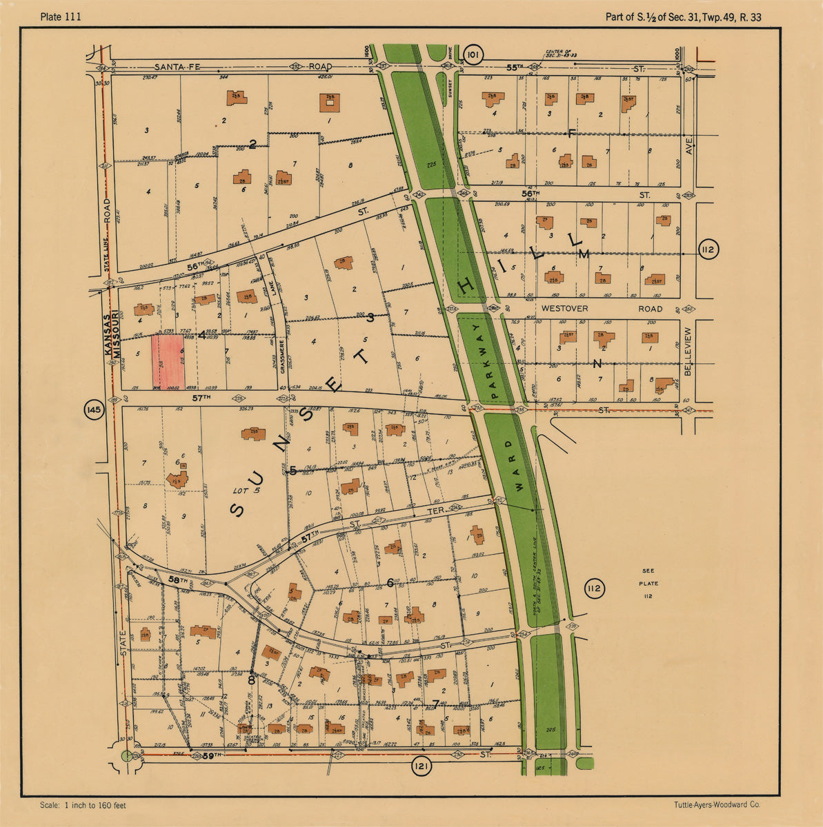
Kansas City 1925 Neighborhood Map - Plate #111 55th-59 State Line-Bellview
from
$60.00 USD
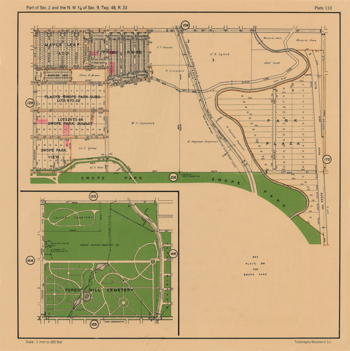
Kansas City 1925 Neighborhood Map - Plate #110 59th-63rd Jackson-Topping
from
$60.00 USD
« Previous
1
2
3
4
5
6
Next »